Walks across the Vale of Pewsey Routes
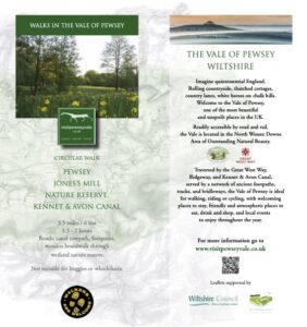
Pewsey, Jones’s Mill Nature Reserve & Kennet & Avon Canal
Map Reference:
01
Distance:
3.5 miles / 6 km


Upavon, North Newnton, Charlton St Peter & Rushall
Map Reference:
12
Distance:
8.4 miles / 13.5 km with 3.5 miles / 5.5 km option

Woodborough, Kennet & Avon Canal, Honeystreet & Bottlesford
Map Reference:
14
Distance:
7.3 miles / 11.7 km or without Woodborough Hill 6.3 miles / 10.1 km


Kepnal, Fyfield Down, Giant’s Grave, Pewsey Hill, Winter’s Drove
Map Reference:
4
Distance:
5.7 miles / 9.2 km

Bruce Arms, Wootton Rivers, Kennet & Avon Canal, Pewsey, Milton Lilbourne
Map Reference:
5
Distance:
8 miles / 13 km

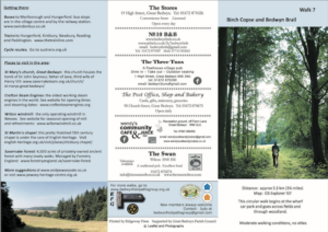
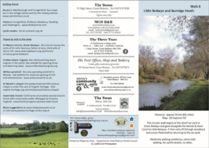
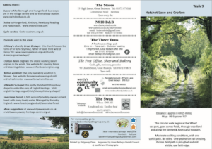
Walks around Bedwyn
Walks from the Crown and Anchor, Ham
Ham to Buttermere Bottom Circular
Map Reference:
H19
Distance:
7.5 miles / 12 km or 4.6 miles / 7.3 km or 2.6 miles / 4.2 km
Ham to Walbury Hill & Combe Gibbet Circular
Map Reference:
H21
Distance:
9.2 miles / 14.7 km or 10.2 miles / 16.3 km